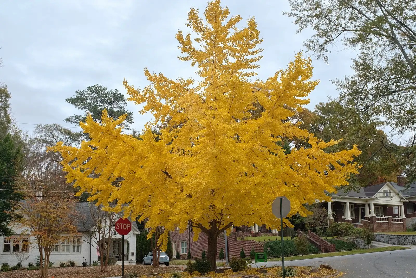
Virginia Highland is in ZIP 30306 and zoned for Midtown High. Zillow's typical home value in 30306 was $954,793 in August 2026, up 6.3% on the year.
Last checked Oct. 6, 2026. Sources: the City of Atlanta’s official neighborhood boundaries, the Atlanta Public Schools zone map data, the state’s 2025 School Grades data, Zillow Research, the city’s parks inventory, MARTA’s schedule data and OpenStreetMap.
Virginia Highland is a neighborhood of mostly older single-family houses northeast of Midtown, named for the corner of Virginia Avenue and North Highland Avenue. The city’s official neighborhood map draws it as about 1 square mile in Neighborhood Planning Unit F. Almost all of it is in Fulton County; a small strip on its east edge falls in DeKalb County, which changes the county tax bill for those parcels but not the school district.
What this means for you
- Zoned high school: Midtown High, for the whole neighborhood. Check one address on the district’s school zone maps.
- Home value: $954,793 in ZIP 30306 in August 2026, according to the Zillow Home Value Index.
- Nearest interstate exit: Downtown Connector exit 249D (North Avenue), to the west by way of North Avenue or Ponce de Leon Avenue.
Part of our Atlanta neighborhoods guide.
Where it is
On the city’s map, Virginia Highland borders Midtown and Morningside/Lenox Park to the north and west, Druid Hills and Atkins Park to the east, and Poncey-Highland and the Old Fourth Ward to the south. North Highland Avenue runs north and south through it, and Virginia Avenue east and west. The whole neighborhood is in ZIP code 30306.
Schools
Virginia Highland is in Atlanta Public Schools, in the Midtown cluster, including the parcels on the DeKalb County side. Shares are of the area’s land in the district’s zone map data on Oct. 6; scores are 2025 College and Career Ready Performance Index (CCRPI) figures from the state’s School Grades report.
| Level | School | Share of area | 2025 CCRPI |
|---|---|---|---|
| High | Midtown High, 929 Charles Allen Drive NE (report card) | 100% | 91.1 |
| Middle | David T. Howard Middle (report card) | 100% | 92.7 |
| Elementary | Virginia-Highland Elementary (report card) | 70% | 97.2 |
| Elementary | Springdale Park Elementary (report card) | 30% | 97.9 |
Because the elementary zone line runs through the neighborhood, check the exact address. The district lists every cluster on its feeder patterns page.
Home values
The typical home value in ZIP 30306 was $954,793 in August 2026, up 6.3% from $898,169 in August 2025, according to the Zillow Home Value Index. That was the highest August 2026 figure of the ZIP codes that cover the 11 areas in our guide, and one of the few that rose. The index is a modeled typical value for the middle third of homes, not a sale price. ZIP 30306 also covers Morningside and other neighborhoods to the north. The citywide Atlanta figure was $381,948, down 2.02% on the year.
Parks and trails
From the city’s parks inventory:
- John Howell Memorial Park, 797, 833 and 869 Virginia Ave. NE: 2.8 acres with three playgrounds and two volleyball courts.
- Orme Park, 795 Brookridge Drive NE: 6.6 acres with a playground.
- Lanier Boulevard Parkway, a 2.1-acre green strip along Lanier Boulevard NE.
The Eastside BeltLine Trail runs along the neighborhood’s western edge, and Piedmont Park is across the BeltLine in Midtown, according to OpenStreetMap and the city’s inventory. More in our walking and biking trails guide.
Getting around
- MARTA rail: no station within about half a mile, according to MARTA’s schedule data.
- MARTA bus: routes 2 (Ponce de Leon), 7 and 11 (Defoor Avenue and Virginia Highland) stop inside the neighborhood.
- Interstates: the nearest exit is Downtown Connector exit 249D, North Avenue, about 2.4 miles by road from the middle of the neighborhood, numbered as in OpenStreetMap.
- Downtown and the airport: about 3.9 miles from the middle of the neighborhood to City Hall and 12.5 miles to Hartsfield-Jackson Atlanta International Airport. Both are distances on the OpenStreetMap road network measured with the OSRM routing engine, not drive times.
Groceries and everyday stores
From OpenStreetMap, inside the neighborhood or just outside it:
- Trader Joe’s, 931 Monroe Drive NE
- Publix, 664 Cleburne Terrace NE
- Kroger, 725 Ponce de Leon Ave. NE
- Whole Foods Market, 650 Ponce de Leon Ave. NE
- CVS Pharmacy, 680 Ponce de Leon Ave. NE, and a second CVS inside the neighborhood
HOAs
The city’s neighborhood map does not list homeowners associations, so this page does not either.
Who serves Virginia Highland
It is inside city limits: the Atlanta Police Department, Atlanta Fire Rescue and the city’s Department of Public Works serve it, and every parcel is in Atlanta Public Schools. County tax goes to Fulton County for most parcels and to DeKalb County for the few on the DeKalb side; check one parcel with the Fulton County Board of Assessors or DeKalb County’s property records. Compare the area with others in our neighborhoods guide.
Frequently asked questions
What schools is Virginia Highland zoned for?
David T. Howard Middle and Midtown High for the whole neighborhood. At the elementary level it is split: about 70% of its land is zoned for Virginia-Highland Elementary and 30% for Springdale Park Elementary, according to the Atlanta Public Schools zone map.
What ZIP code is Virginia Highland?
- Zillow put the typical home value in 30306 at $954,793 in August 2026, up 6.3% from August 2025.
Is there a MARTA station in Virginia Highland?
No. No MARTA rail station is within about half a mile of the neighborhood, according to MARTA’s schedule data. Bus routes 2, 7 and 11 stop inside it.
Is Virginia Highland a good place to live?
Here are the facts. Virginia Highland is a 1-square-mile neighborhood northeast of Midtown with John Howell Park and Orme Park, and the Eastside BeltLine Trail on its western edge. It is zoned for Midtown High, which scored 91.1 on the state’s 2025 CCRPI, and Zillow put the typical home value in 30306 at $954,793 in August 2026.
Have your say